


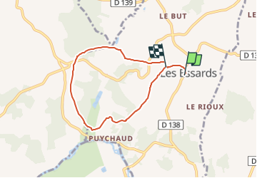

7.7 km | 9.7 km-effort


Tous les sentiers balisés d’Europe PRO


FREE GPS app for hiking
 SityTrail
IGN / Geographical institutes
SityTrail World
The world is yours!
Trail On foot of 6.1 km to be discovered at New Aquitaine, Charente, Les Essards. This trail is proposed by SityTrail - itinéraires balisés pédestres.
Symbol: red bar on tree, post etc.

On foot

Walking
On foot

On foot

Walking

Walking
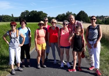
Walking
Cycle

Running